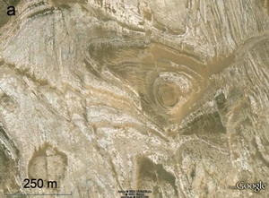
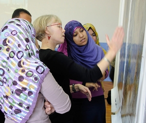
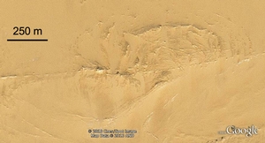
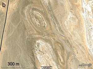
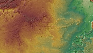
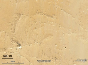
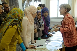
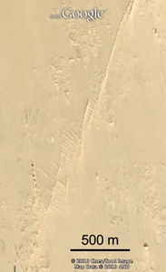
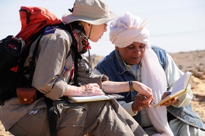
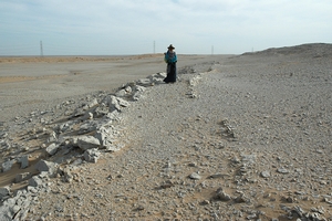
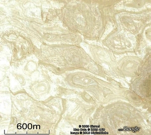
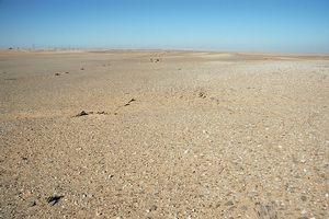
The remote Western Desert of central and southern Egypt is part of the Stable Platform of Late Mesozoic and Cenozoic North Africa and is not an area that immediately pops to mind as a place to go to look for interesting bedrock structures. High resolution satellite imagery now up in Google Earth, though, reveals spectacular low amplitude fold structures in rocks as young as Middle Eocene exposed over literally thousands of square kilometers by a unique combination of very low topographic relief, minimal surficial cover, and no vegetation. Faults are equally well exposed over great distances in many areas. In collaboration with Egyptian geologists, we have begun to map these features, establish the spatial and temporal relationships among them, and work out their origin and evolution. The Desert Eyes portion of this research has opportunities for students. Our Desert Eyes logo was designed by Capt. Carolyn Tewksbury-Christle.
Status of work
If you would like to read more about our current work, you can download our recent research presentations:
General use of Google Earth for conducting research in remote regions
- Google Earth and geologic research in remote regions of the developing world: an example from the Western Desert of Egypt (Tewksbury, Dokmak, Tarabees, & Mansour, in press). Download a PDF of in-press paper accepted for publication in GSA Special Paper Google Earth and Virtual Visualization in Geoscience Education and Research)
- The potential of Google Earth for conducting research in remote regions of the world (Tewksbury). Download a PowerPoint of keynote talk at the Geology of the Nile Basin Countries Conference, March 2012, Alexandria, Egypt.
- Eyes in the sky and boots on the ground (Tewksbury). Download a PowerPoint of invited talk at Alexandria University, March 2012, Alexandria Egypt.
- Using Google Earth: From Teaching Geologic Map Interpretation to Conducting Research in the Western Desert of Egypt (Tewksbury). Download a PowerPoint of talk at Google Earth Penrose Conference, 2011)
Polygonal faulting in the Farafra region of Egypt
- Polygonal patterns and desert eyes: reconnaissance study of fold and fault structures in Late Cretaceous and Early Tertiary limestones of the Western Desert, Egypt (Tewksbbury, Kattenhorn, Sayler, Tewksbury-Christle, & Saint-Jacques). Download a PowerPoint of talk at Geology of the Nile Basin Countries Conference, March 2012, Alexandria, Egypt or a PDF of our GSA poster 2011 or a PDF of our poster from the 2012 Structural Geology and Tectonics Forum.
Structures in Stable Platform limestones of the Western Desert of Egypt
- A previously unrecognized system of folds and related faults in stable platform limestones of the El Rufuf and Drunka Formations, Western Desert, Egypt (Tewksbury, Dokmak, Tarabees, and Mansour). Download a PowerPoint of talk at Geology of the Nile Basin Countries Conference, March 2012, Alexandria, Egypt or a PDF of our GSA poster 2011.
- Reconnaissance study of domes and basins in Tertiary sedimentary rocks in the Western Desert of Egypt using high resolution satellite imagery (Tewksbury, Abdel Salam, Tewksbury-Christle, Hogan, Jerris, & Pandey). Download a PDF of our GSA poster 2009.
Evolution of faults in the south central Western Desert of Egypt
-
Deformation bands and the expression in siliciclastic cover rocks of slip on basement faults in southern Egypt (Tewksbury, Hogan, Kemp, Keren, Tewksbury-Christle, & Mehrtens). Download a PowerPoint of talk at Geology of the Nile Basin Countries, March 2012, Alexandria, Egypt or a PDF of our GSA poster 2010.
Desert Eyes Project: Successful NSF IRES Proposal
We have received NSF funding through the IRES program (International Research Experiences for Students) to carry out research in Egypt, including a month of field work in each of the next three years. The project is a collaboration among Hamilton College, Missouri University of Science and Technology, and four Egyptian universities (Alexandria, Assiut, Sohag, and South Valley-Aswan). Read more.....
Successful Proposal: Digital Globe 8-Band Challenge
Digital Globe has awarded us 100 km2 of high resolution multispectral satellite image data of several of our research areas in Egypt. We wil combine image analysis with field data to extend mapping of subtle compositional differences in sedimentary bedrock so that we can better map structures in remote areas of the Western Desert and determine the origin of the structures.
Collaborators
In the US
- Dr. John Hogan, Missouri University of Science and Technology
- Dr. Mohamed Abdelsalam, Missouri University of Science and Technology
- Dr. Kelly Liu, Missouri University of Science and Technology
- Dr. Simon Kattenhorn, University of Idaho
- Capt. Carolyn M. Tewksbury-Christle, U. S. Air Force
- Dr. Charlotte Mehrtens, University of Vermont
- Dr. David Saint-Jacques, Canadian Space Agency
- Christopher Crosby, OpenTopography, UC San Diego
- Jason Stoker, USGS
- Dr. David Phillips, UNAVCO
- Dr. Richard Schultz, ConocoPhillips, Houston
In Egypt
- Dr. Elhamy Tarabees, Damanhour University
- Dr. Ahmed S. Mansour, Alexandria University
- Dr. Tharwat Fattah, Alexandria Universit
- Dr. Asem El-Hadddad, Assiut Unitveristy
- Dr. Ashraf Emam, South Valley University, Aswan
- Dr. Sayed Selim, South Valley University, Aswan
- Dr. Ayman El-Dessouki, NARSS
- Dr. Safaa Mohamed Hasan Sayed, NARSS
Research students
Graduate research students
- Asmaa Ashraf Khalil Dokmak (MS, Alexandria University '12)
- Manal Mohamed Osman (PhD, Alexandria University '15)
Undergraduate research students at Hamilton College
- Hannah Allen (Hamilton '14)
- Joseph Coons (Hamilton '14)
- Tucker Keren (Hamilton '13)
- Peter Laciano (Hamilton '13)
- Clifford Yu (Hamilton '13)
- Claire Sayler (Hamilton '12)
- David Hyman (Hamilton '12)
- Jessica McBeck (Hamilton '12)
- Stephen Kemp (Hamilton '11)
- Nicholas Kernan (Hamilton '10)
- Devin Farkas (Hamilton '10)
- Anoop Pandey (Hamilton '10)
- Katie Giuliano (Hamilton '10)
Student collaborators in Egypt
- Eman El-Badry, South Valley University, Aswan
- Mostafa Nasr El Sayer, South Valley University, Aswan
- Marwa Abu Amra Essa, Sohag University
- Amany Hamd Kamal, Asyut University


